We are staying near Emerald for a
couple of weeks, in a house (so nice to be in a house for a while)
that happens to have a killer staircase for bouldering, as well as a
plethora of parks in the immediate area where you can go walking.
Never climb stairs the regular way again
I found some details about a loop walk
from Mortimer Picnic Ground in Bunyip State Park which led up to Four
Brothers Rocks. The Victoria Parks brochure describes the view from
Four Brothers Rocks as "sweeping." I wouldn't actually go
that far, but Four Brothers Rocks does make a convenient location to
get to on a walk which is otherwise a desultory meander through the
woods.
Our loop was about 12 km with about 500
metres of total elevation gain (both guesses). There are a lot of
old roads in Bunyip State Park but luckily most of them are gated and
accessible only to walkers, cyclists or horse-riders which means they
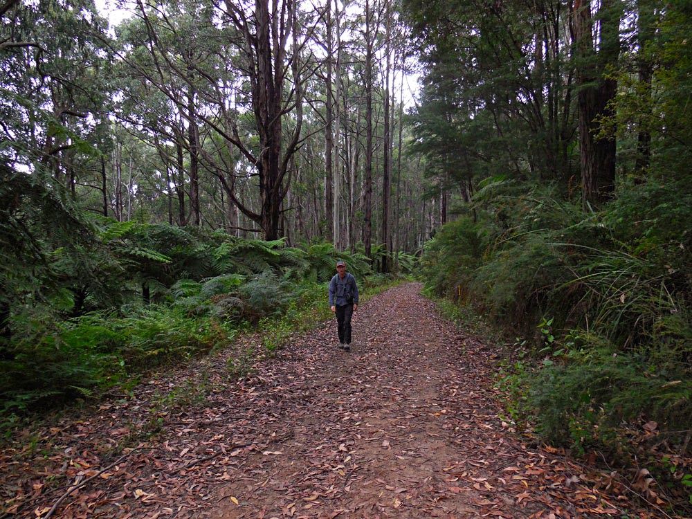
are quiet and peaceful. The forest is very pretty with lots of big
old eucalpyts and many tree ferns. Leeches must be bad during winter
as, despite only about a millimetre of rain having fallen overnight,
I saw a lot of the buggers looking for blood on the Tree Fern track.
Starting out on Triangle Track
Anyway, from Mortimer Picnic Area, we
strolled north on the Triangle Track to Windy Point Track (both gated
so not accessible to bogans) which we followed (also north) to Tree
Fern Track. The first section of Tree Fern Track seems to have been
hastily hacked out of the surrounding tree fern forest but, after you
cross Link Road, the track seems wider and better built and it is a
pleasant stroll through stands of tree ferns to Nichols Hut Track.
We never saw a hut, so I have no idea what the name of this track
references but it climbs about 300 metres up a spur ridge to join
Burgess Track (beyond the vehicle gate). It's about 1 km round-trip
southeast along Burgess Track to detour to Four Brothers Rocks and a
somewhat narrow view north across Black Snake Creek valley to Yarra
State Forest.
We followed Nichols Hut track back down
hill to Link Road where a new bit of track not shown on the Victoria
Parks map connects with Ferres Track and Silvertop Ridge track thus
avoiding any road walking. Ferres Track is shown on the Parks map as
following a Diamond Creek but it actually seemed to climb up and over
a ridge line before wandering back down to join Triangle Track near
Mortimer Picnic Area.
Four Brothers Boulders


No comments:
Post a Comment